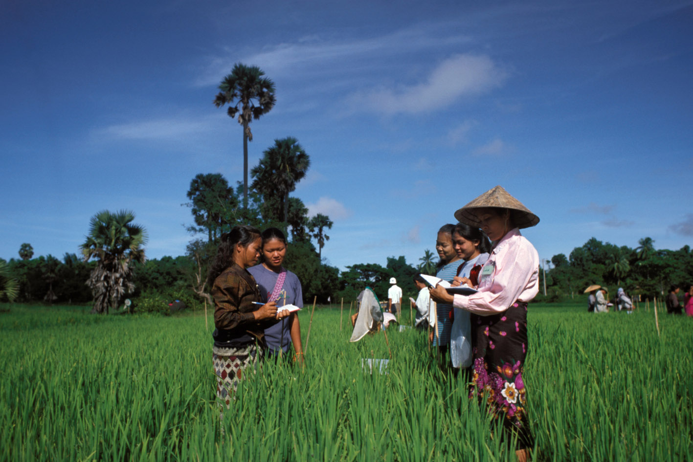
Land and Livestock Holding Survey (Visit 1), 1992
India, 1992
Get Microdata
Reference ID
IND_1992_LLHS-W1_v01_EN_M_v01_A_OCS
Producer(s)
National Sample Survey Office
Collections
Metadata
Created on
Apr 14, 2020
Last modified
Apr 14, 2020
Page views
33811
Downloads
1722
- Data files
- Block-1-5-visit-1-Household-characteristics-Records
- Block-6-visit-1-H08sehold-members-activity-particulars-records
-
Block-7-visit-1-particulars-of
area
owned-leassed-out
records - Block-8-visit-1-Particulars-area-leased-in-otherwise-possessed-records
- Block-9-visit-1-Particulars-of-plots-KHARIF-records
- Block-10-visit-1-General-information-operational-holdings-KHARIF-records
- Block-11-visit-1-Cattle-buffalo-owned-household-records
- Block-12-visit-1-Livestock-poultry-owned-houshold-records
- Block-13-visit-1-Agricultural-Machinery-implements-owned-records
Percentage of area owned by hh. (B7_c6)
Data file: Block-7-visit-1-particulars-of area owned-leassed-out records
Overview
Valid:
0
Invalid:
0
Type:
Continuous
Decimal:
0
Start:
60
End:
62
Width:
3
Range:
0 - 700
Format:
Numeric
Questions and instructions
Interviewer instructions
If the entire area of the plot (i.e. area under survey number or sub-survey number) is owned by the household, the total geographical area of the plot will be recorded in q. (7) and 100 will be recorded in ql. (6). However, if the plot is jointly owned by members of two or more households, the percentage share of area owned by the sample household will be recorded in q. (6) and the actual area owned in ql. (7). All entries in ql. (7) are to be made in acres rounded off to two places of decimal and those in ql. (6) in terms of percentage share expressed in whole numbers. It may be noted that when geographical area of the plot is not available, i.e. when 'N.A.' is entered in ql. (5), a dash (-) will be entered in ql. (6).
when a part of the plot is covered under homestead land, the entries in q. (6) q (7) will relate to the area outside the homestead, the percentage share and actual area of only the part of the plot not covered under homestead will be recorded in cols. (6) and (7) respectively.
when a part of the plot is covered under homestead land, the entries in q. (6) q (7) will relate to the area outside the homestead, the percentage share and actual area of only the part of the plot not covered under homestead will be recorded in cols. (6) and (7) respectively.
