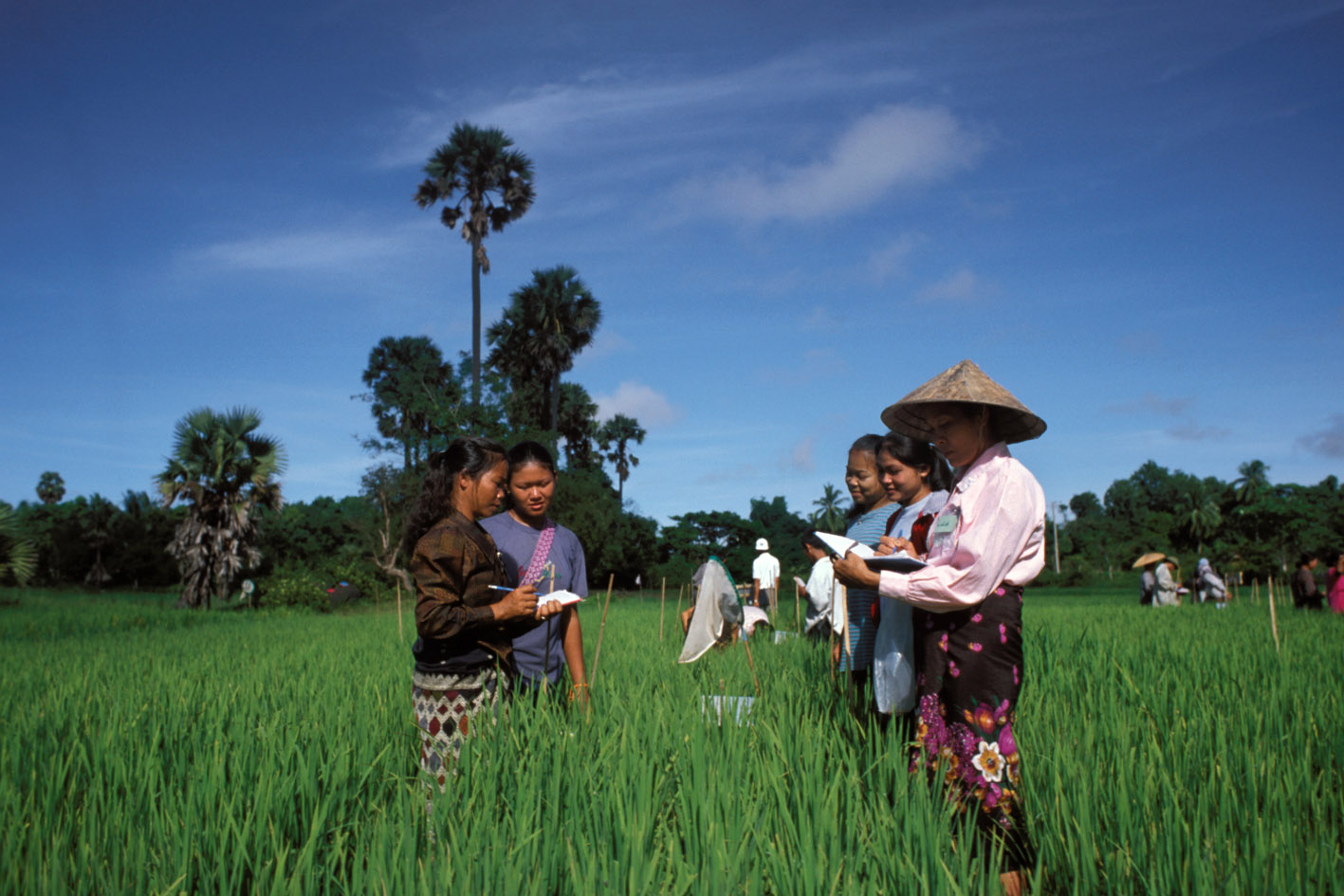
Smallholder Household Survey - CGAP, 2015
Uganda, 2015
Get Microdata
Reference ID
UGA_2015_SHS_v01_EN_M_v01_A_OCS
Producer(s)
Jamie Anderson
Collections
Metadata
Created on
Oct 12, 2020
Last modified
Nov 08, 2022
Page views
98627
Downloads
725
HH7. District (HH7)
Data file: CGAP Smallholder Household Survey_UGA 2015_Household_Mar18
Overview
Valid:
2870
Invalid:
0
Type:
Discrete
Start:
31
End:
43
Width:
13
Range:
-
Format:
character
Questions and instructions
Categories
| Value | Category | Cases | |
|---|---|---|---|
| ADJUMANI | 14 |
0.5%
|
|
| Abim | 14 |
0.5%
|
|
| Agago | 28 |
1%
|
|
| Alebtong | 24 |
0.8%
|
|
| Amolatar | 9 |
0.3%
|
|
| Amudat | 15 |
0.5%
|
|
| Amuria | 15 |
0.5%
|
|
| Amuru | 13 |
0.5%
|
|
| Apac | 23 |
0.8%
|
|
| Arua | 61 |
2.1%
|
|
| BULIISA | 15 |
0.5%
|
|
| Budaka | 15 |
0.5%
|
|
| Bududa | 15 |
0.5%
|
|
| Bugiri | 29 |
1%
|
|
| Buhweju | 14 |
0.5%
|
|
| Buikwe | 38 |
1.3%
|
|
| Bukedea | 14 |
0.5%
|
|
| Bukomansimbi | 11 |
0.4%
|
|
| Bukwo | 15 |
0.5%
|
|
| Bulambuli | 14 |
0.5%
|
|
| Bundibugyo | 12 |
0.4%
|
|
| Bushenyi | 29 |
1%
|
|
| Busia | 29 |
1%
|
|
| Butaleja | 13 |
0.5%
|
|
| Buyende | 23 |
0.8%
|
|
| Dokolo | 8 |
0.3%
|
|
| Gomba | 26 |
0.9%
|
|
| Gulu | 44 |
1.5%
|
|
| Hoima | 41 |
1.4%
|
|
| Ibanda | 28 |
1%
|
|
| Iganga | 42 |
1.5%
|
|
| Isingiro | 43 |
1.5%
|
|
| Jinja | 53 |
1.8%
|
|
| Kabale | 42 |
1.5%
|
|
| Kabalore | 56 |
2%
|
|
| Kaberamaido | 15 |
0.5%
|
|
| Kalangala | 12 |
0.4%
|
|
| Kaliro | 14 |
0.5%
|
|
| Kalungu | 24 |
0.8%
|
|
| Kamuli | 43 |
1.5%
|
|
| Kamwenge | 27 |
0.9%
|
|
| Kanungu | 29 |
1%
|
|
| Kasese | 69 |
2.4%
|
|
| Katakwi | 12 |
0.4%
|
|
| Kayunga | 30 |
1%
|
|
| Kibaale | 87 |
3%
|
|
| Kiboga | 14 |
0.5%
|
|
| Kibuku | 14 |
0.5%
|
|
| Kiruhura | 36 |
1.3%
|
|
| Kiryandongo | 25 |
0.9%
|
|
| Kisoro | 27 |
0.9%
|
|
| Kitgum | 14 |
0.5%
|
|
| Koboko | 13 |
0.5%
|
|
| Kole | 15 |
0.5%
|
|
| Kotido | 15 |
0.5%
|
|
| Kumi | 14 |
0.5%
|
|
| Kween | 15 |
0.5%
|
|
| Kyankwanzi | 14 |
0.5%
|
|
| Kyegegwa | 14 |
0.5%
|
|
| Kyenjojo | 40 |
1.4%
|
|
| Lamwo | 14 |
0.5%
|
|
| Lira | 38 |
1.3%
|
|
| Luuka | 13 |
0.5%
|
|
| Luweero | 56 |
2%
|
|
| Lwengo | 30 |
1%
|
|
| Lyantonde | 15 |
0.5%
|
|
| Manafwa | 28 |
1%
|
|
| Maracha | 15 |
0.5%
|
|
| Masaka | 28 |
1%
|
|
| Masindi | 28 |
1%
|
|
| Mayuge | 41 |
1.4%
|
|
| Mbale | 57 |
2%
|
|
| Mbarara | 41 |
1.4%
|
|
| Mitooma | 14 |
0.5%
|
|
| Mityana | 26 |
0.9%
|
|
| Moyo | 15 |
0.5%
|
|
| Mpigi | 26 |
0.9%
|
|
| Mubende | 67 |
2.3%
|
|
| Mukono | 57 |
2%
|
|
| NAKAPIRIPIRIT | 15 |
0.5%
|
|
| Nakaseke | 28 |
1%
|
|
| Namayingo | 20 |
0.7%
|
|
| Namutumba | 15 |
0.5%
|
|
| Napak | 15 |
0.5%
|
|
| Nebbi | 39 |
1.4%
|
|
| Ngora | 14 |
0.5%
|
|
| Ntungamo | 55 |
1.9%
|
|
| Nwoya | 14 |
0.5%
|
|
| Oyam | 33 |
1.1%
|
|
| Pader | 15 |
0.5%
|
|
| Pallisa | 30 |
1%
|
|
| Rakai | 36 |
1.3%
|
|
| Rubirizi | 15 |
0.5%
|
|
| Rukungiri | 30 |
1%
|
|
| Sembabule | 11 |
0.4%
|
|
| Serere | 14 |
0.5%
|
|
| Sheema | 14 |
0.5%
|
|
| Sironko | 24 |
0.8%
|
|
| Soroti | 26 |
0.9%
|
|
| Tororo | 58 |
2%
|
|
| Wakiso | 165 |
5.7%
|
|
| Yumbe | 30 |
1%
|
|
| Zombo | 13 |
0.5%
|
|
| kaabong | 15 |
0.5%
|
Warning: these figures indicate the number of cases found in the data file. They cannot be interpreted as summary statistics of the population of interest.
