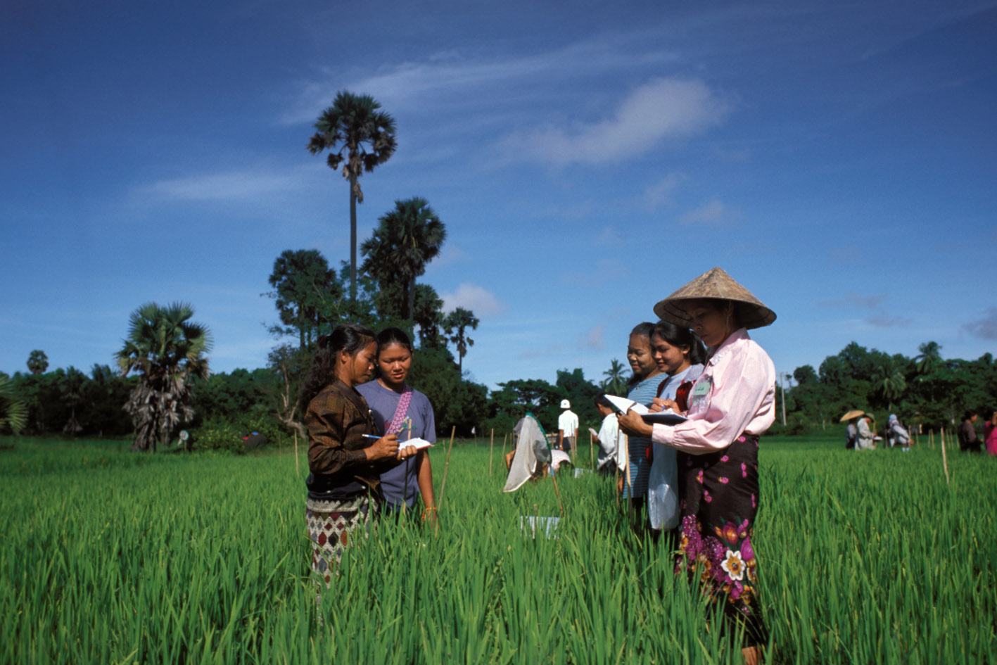
Annual Agricultural Area and Production Survey 2015
Ecuador, 2015
Get Microdata
Reference ID
ECU_2015_ESPAC_v01_EN_M_v01_A_OCS
Producer(s)
National Institute of Statistics and Censuses (INEC), Agricultural Statistics Unit
Collections
Metadata
Created on
Feb 25, 2020
Last modified
Feb 25, 2020
Page views
122261
Downloads
7567
- Data files
-
Aves de
campo_nac2015 -
Árboles
dispersos_nac2015 -
Aves planteles
avicolas_nac2015 -
Cultivos
permanentes_nac2015 -
Cultivos
transitorios_nac2015 - Empleo_nac2015
-
Flores
permanentes_nac2015 -
Flores
transitorias_nac2015 -
Ganado
vacuno_nac2015 -
Ganado
porcino_nac2015 -
Ganado
ovino_nac2015 -
Otras
especies_nac2015 -
Uso de
suelo_nac2015 -
Movimiento de
ganado_nac2015 -
Pastos
cultivados
nac_2015
Provincia (ual_prov)
Data file: Ganado ovino_nac2015
Overview
Valid:
39953
Invalid:
0
Type:
Discrete
Start:
2
End:
3
Width:
2
Range:
-
Format:
character
Questions and instructions
Literal question
Información geográfica y muestral
Provincia
Provincia
Categories
| Value | Category | Cases | |
|---|---|---|---|
| 01 | AZUAY | 3392 |
8.5%
|
| 02 | BOLÍVAR | 1873 |
4.7%
|
| 03 | CAÑAR | 1398 |
3.5%
|
| 04 | CARCHI | 991 |
2.5%
|
| 05 | COTOPAXI | 3447 |
8.6%
|
| 06 | CHIMBORAZO | 2845 |
7.1%
|
| 07 | EL ORO | 1212 |
3%
|
| 08 | ESMERALDAS | 1397 |
3.5%
|
| 09 | GUAYAS | 3016 |
7.5%
|
| 10 | IMBABURA | 1440 |
3.6%
|
| 11 | LOJA | 1913 |
4.8%
|
| 12 | LOS RIOS | 2717 |
6.8%
|
| 13 | MANABÍ | 3763 |
9.4%
|
| 14 | MORONA SANTIAGO | 857 |
2.1%
|
| 15 | NAPO | 492 |
1.2%
|
| 16 | PASTAZA | 365 |
0.9%
|
| 17 | PICHINCHA | 2623 |
6.6%
|
| 18 | TUNGURAHUA | 2456 |
6.1%
|
| 19 | ZAMORA CHINCHIPE | 414 |
1%
|
| 21 | SUCUMBIOS | 791 |
2%
|
| 22 | ORELLANA | 437 |
1.1%
|
| 23 | SANTO DOMINGO | 1343 |
3.4%
|
| 24 | SANTA ELENA | 327 |
0.8%
|
| 90 | ZONA NO DELIMITADA | 444 |
1.1%
|
Warning: these figures indicate the number of cases found in the data file. They cannot be interpreted as summary statistics of the population of interest.
Interviewer instructions
Señor Encuestador, tenga presente que:
- Para el llenado del cuestionario, debe utilizar siempre LETRA DE IMPRENTA
- En los casilleros de Información Geográfica y Muestral, si no hay dato en la parte izquierda, debe registrar ceros.
En este recuadro anote el nombre de la provincia, con sus respectivos códigos y los números.
Registre en los casilleros correspondientes la provincia donde se se va a efectuar el trabajo.
Description
Definition
Son circunscripciones territoriales integradas por los cantones que legalmente les correspondan.
Se refiere a la provincia donde se encuentra ubicado el terreno.
Se refiere a la provincia donde se encuentra ubicado el terreno.
