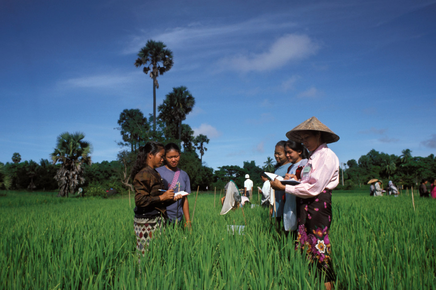
Ethiopian Socioeconomic Survey 2013-2014
Ethiopia, 2013 - 2014
Get Microdata
Reference ID
ETH_2013-2014_ESS_v01_EN_M_v01_A_OCS
Producer(s)
Central Statistics Agency of Ethiopia (CSA), Living Standards Measurement Study Integrated Surveys of Agriculture (LSMS-ISA)
Collections
Metadata
Created on
Aug 25, 2020
Last modified
Nov 08, 2022
Page views
283776
Downloads
4044
- Data files
- sect1a_com_w2
- sect1b_com_w2
- sect2_com_w2
- sect3_com_w2
- sect4_com_w2
- sect5_com_w2
- sect6_com_w2
- sect7_com_w2
- sect8_com_w2
- sect9_com_w2
- sect10a1_com_w2
- sect10a2_com_w2
- sect10b1_com_w2
- sect10b2_com_w2
- Pub_ETH_HouseholdGeovars_Y2
- Pub_ETH_PlotGeovariables_Y2
- cons_agg_w2
- ET_local_area_unit_conversion
- Food_CF_Wave2
- sect_cover_hh_w2
- sect1_hh_w2
- sect2_hh_w2
- sect3_hh_w2
- sect4_hh_w2
- sect5a_hh_w2
- sect5b_hh_w2
- sect5c1_hh_w2
- sect5c2_hh_w2
- sect5d_hh_w2
- sect6a_hh_w2
- sect6b_hh_w2
- sect7_hh_w2
- sect8_hh_w2
- sect9_hh_w2
- sect10_hh_w2
- sect11a_hh_w2
- sect11b_hh_w2
- sect11c_hh_w2
- sect12_hh_w2
- sect13_hh_w2
- sect14a_hh_w2
- sect14b_hh_w2
- sect14c_hh_w2
- sect_cover_ls_w2
- sect1_ls_w2
- sect8a_ls_w2
- sect8b_ls_w2
- sect8c_ls_w2
- sect_cover_ph_w2
- sect1_ph_w2
- sect9_ph_w2
- sect9a_ph_w2
- sect10_ph_w2
- sect11_ph_w2
- sect12_ph_w2
- sectnr_ph_w2
- sect_cover_pp_w2
- sect1_pp_w2
- sect2_pp_w2
- sect3_pp_w2
- sect_3rca_pp_w2
- sect_3rcb_pp_w2
- sect4_pp_w2
- sect5_pp_w2
- sect7_pp_w2
- sectnr_pp_w2
- Crop_CF_Wave2
Data file: Pub_ETH_PlotGeovariables_Y2
| Cases: | 33147 |
| Variables: | 11 |
Variables
Total: 11
