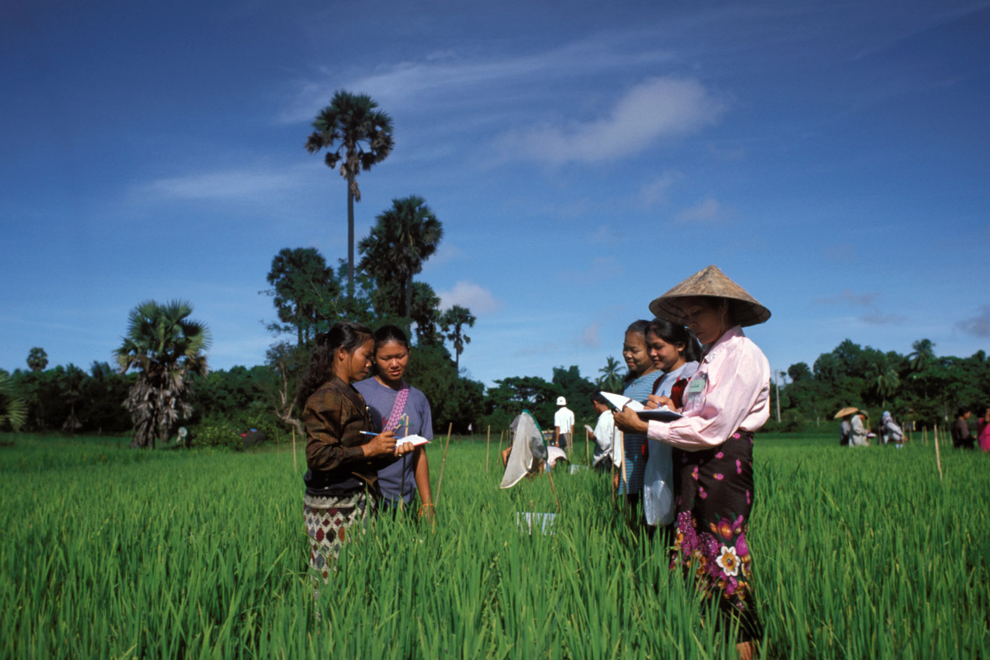
General Household Survey Panel, Farm Area Measurement Validation Study 2013
Nigeria, 2013
Get MicrodataIdentification
NGA_2013_GHSP-FAMVS_v01_EN_M_v01_A_OCS
General Household Survey Panel, Farm Area Measurement Validation Study 2013
| Name | Country code |
|---|---|
| Nigeria | NGA |
Living Standards Measurement Study [hh/lsms]
The General Household Survey Panel, Farm Area Measurement Validation Study 2013 was conducted on a subsample of the GHS-Panel survey, it focused on the land area measurement component. The survey was motivated by observed differences between farmer estimates of plot area and GPS measurement in Nigeria and other countries with LSMS-ISA surveys. The study set out to validate GPS measurement and farmer self-reported estimates against the compass and rope measurement, commonly accepted as the gold standard method. The LSMS-ISA, an agriculture-focused project of the LSMS program, and the institutional collaborations on which it is built, provides an ideal platform to support methodological research. The broader LSMS-ISA research agenda is composed of seven primary components:
- Land area measurement
- Soil fertility
- Water resources
- Labour inputs
- Skill measurement
- Production of continuous and extended-harvest crops
- Computer-assisted personal interviewing for agricultural data.
Four states were purposefully selected based on safety and past performance in area measurement (Benue, Osun, Oyo, and Kogi). The total number of plots measured and included in the validation study were 495, coming from a total of 202 households. The GHSP-FAMVS was carried out in 2013 by the Nigeria National Bureau of Statistics (NBS) in collaboration with The World Bank Living Standards Measurement Study (LSMS) team. Fieldwork began in March 2013 and lasted for approximately 3 weeks.
Sample survey data [ssd]
Households
Scope
The survey includes the following topics:
- Household identification
- Plot identification
- Farm survey recordings
- Farmer's report of plot area
- GPS readings
- GPS accuracy
- Weather condition
- Tree cover
| Topic | Vocabulary |
|---|---|
| Agriculture & Rural Development | FAO |
| Land (policy, resource management) | FAO |
| Environment | FAO |
Coverage
Regional
Producers and sponsors
| Name | Affiliation |
|---|---|
| National Bureau of Statistics | Federal Government of Nigeria |
| Name | Role |
|---|---|
| The World Bank | Technical support and training |
| Name | Role |
|---|---|
| Department for International Development | Financial assistance |
Sampling
The plot size plays a significant role in the accuracy of plot area measurement using the various methods, the validation sample was stratified on four plot size strata to ensure we could test the various methods on larger plots, which are much rarer. Four states were purposefully selected based on safety and past performance in area measurement (Benue, Osun, Oyo, and Kogi). Using the second wave of the GHS panel as the sample frame and the GPS measurement of the plot taken in the post-planting visit, every plot was assigned to some plot-size strata:
· strata 1: <=1000 sq. meters
· strata 2: 1000-2500 sq. meters
· strata 3: 2500-5000sq. Meters
· strata 4: >5000 sq. meters).
One hundred plots were then randomly selected from each stratum. This process yielded the selection of 400 plots (211 households). However, in order to maximize the sample at minimal added cost, we included all plots from the selected households, not only the plots that were selected in the first step (totalling 518 plots). From the 518 selected plots, 23 plots were unable to be measured (5 due to land disputes, 4 due to respondent refusal, 14 for other reasons). Therefore, the total number of plots measured and included in the farm area measurement validation study is 495, coming from a total of 202 households. Stratification by plot size in the validation sample results in the unequal probability of plot selection within households from the GHS-Wave 2 sample. Household-level sampling weights were calculated for the validation sample to make them representative of the same household population sampled in Wave 2. Refer to Annex I of the Basic Information Document for details on the construction of the sampling weights.
Data collection
| Start | End |
|---|---|
| 2013-03-01 | 2013-03-29 |
Data Access
| Is signing of a confidentiality declaration required? | Confidentiality declaration text |
|---|---|
| yes |
All users must agree: 1. To make no copies of any files or portions of files to which he/she is granted access except those authorized by the data depositor. 2. Not to use any technique in an attempt to learn the identity of any person, establishment, or sampling unit not identified on public use data files. 3. To hold in strictest confidence the identification of any establishment or individual that may be inadvertently revealed in any documents or discussion, or analysis. Such inadvertent identification revealed in her/his analysis will be immediately brought to the attention of the data depositor. |
Use of the dataset must be acknowledged using a citation which would include:
- the Identification of the Primary Investigator
- the title of the survey (including country, acronym and year of implementation)
- the survey reference number - the source and date of download
Example: National Bureau of Statistics. General Household Survey Panel, Farm Area Measurement Validation Study (GHSP-FAMVS) 2013, Ref. NGA_2013_GHSP-FAMVS_v01_M. Dataset downloaded from [URL] on [date].
Disclaimer and copyrights
The user of the data acknowledges that the original collector of the data, the authorized distributor of the data, and the relevant funding agency bear no responsibility for use of the data or for interpretations or inferences based upon such uses
Contacts
| Name | Affiliation | URL | |
|---|---|---|---|
| LSMS Data Manager | The World Bank | [email protected] | surveys.worldbank.org/lsms |
Metadata production
DDI_NGA_2013_GHSP-FAMVS_v01_EN_M_v01_A_OCS_FAO
| Name | Affiliation | Role |
|---|---|---|
| Office of Chief Statistician | Food and Agriculture Organization | Adoption of metadata for FAM |
| Development Data Group | The world Bank | Generation of DDI |
Metadata version
NGA_2013_GHSP-FAMVS_v01_EN_M_v01_A_OCS_v01
