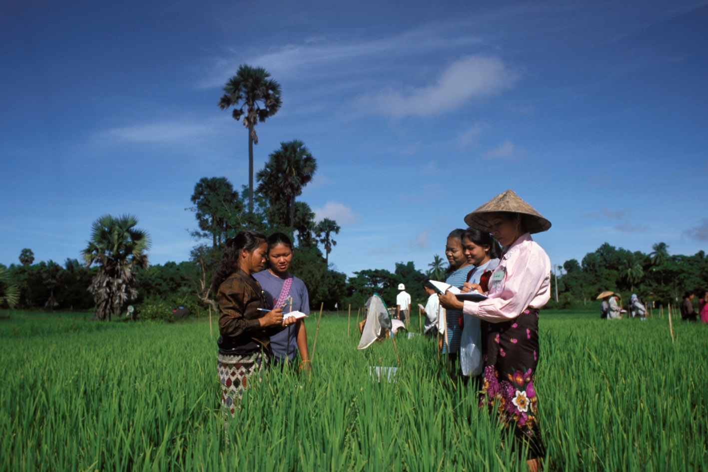
General Household Survey-Panel Wave 3 (Post Planting) 2015-2016
Nigeria, 2015
Get Microdata
Reference ID
NGA_2015-2016_GHS-W3-PP_v01_EN_M_v01_A_OCS
Producer(s)
National Bureau of Statistics (NBS)
Collections
Metadata
Created on
Jul 17, 2019
Last modified
Jul 17, 2019
Page views
219889
Downloads
7426
- Data files
-
Section A-1_
Household
Identification -
Section 1_
Roster - Section 3_Labor
-
Section
4A_Savings and
Insurance -
Section 4B_ ICT
- Mobile Phone
Banking -
Section
4C_Credit -
Section
4C2_Credit -
Section
4C2_Credit -
Section 5_
Household
Assets -
Section
7A_Meals Away
from Home -
Section 7B_Food
Expenditure -
Section 8A_
Non-Food
Expenditure -
Section 8B_
Non-Food
Expenditure -
Section
8C_Non-Food
Expenditure -
Section 9_Food
Security -
Section
9B_Subjective
Wellbeing -
Section
11_Housing -
Section A-1_
Household
Identification -
Section 11A_
Plot Roster -
Section 11A1_
Plot Roster -
Section 11B1_
Land Invetory -
Section 11C1_
Labor -
Section
11E_Seed
Acquisition -
Section 11F_
Planted Field
and Tree Crops -
Section
11I_Animal
Holdings -
Section 11J_
Animal Costs -
Section 11K_
Agricultural
by-Product -
Section 11L1_
Extension
Services 1 -
Section 11L2_
Extension
Services 2 -
Section 12_
Network Roster -
Community
_Identification -
Section 1_
Respondent
Characteristics -
Section 2A_Food
Prices - 1st
Location -
Section 2B_
Food Prices -
2nd Location -
Section 3A_
Labor -
Section 3B_
Labor -
Section 4A_
Land Prices and
Credit -
Section 4B_
Land prices and
credit
What is the area of plot? gps measure in meter sq (S11aq4c)
Data file: Section 11A1_ Plot Roster
Overview
Valid:
4699
Invalid:
1125
Minimum:
6.38
Maximum:
109975
Mean:
5085.339
Standard deviation:
7709.844
Type:
Continuous
Decimal:
2
Start:
30
End:
38
Width:
9
Range:
6.38 - 109975
Format:
Numeric
Questions and instructions
Literal question
What is the area of [plot]? enumerator: ask the farmer to estimate the area.
