Annual Agricultural Survey 2007-2008
Senegal, 2007
Get MicrodataIdentification
SEN_2007-2008_AAS_v01_EN_M_v01_A_OCS
Annual Agricultural Survey 2007-2008
| Name | Country code |
|---|---|
| Senegal | SEN |
Agricultural Survey [ag/oth]
The Directorate of Analysis, Forecasting and Statistics (DAPS) is responsible, among other functions, for collecting, centralizing, processing and disseminating information on agricultural statistics. These responsibilities are ensured in conjuction with other directorates, services and parastatals of the ministry.
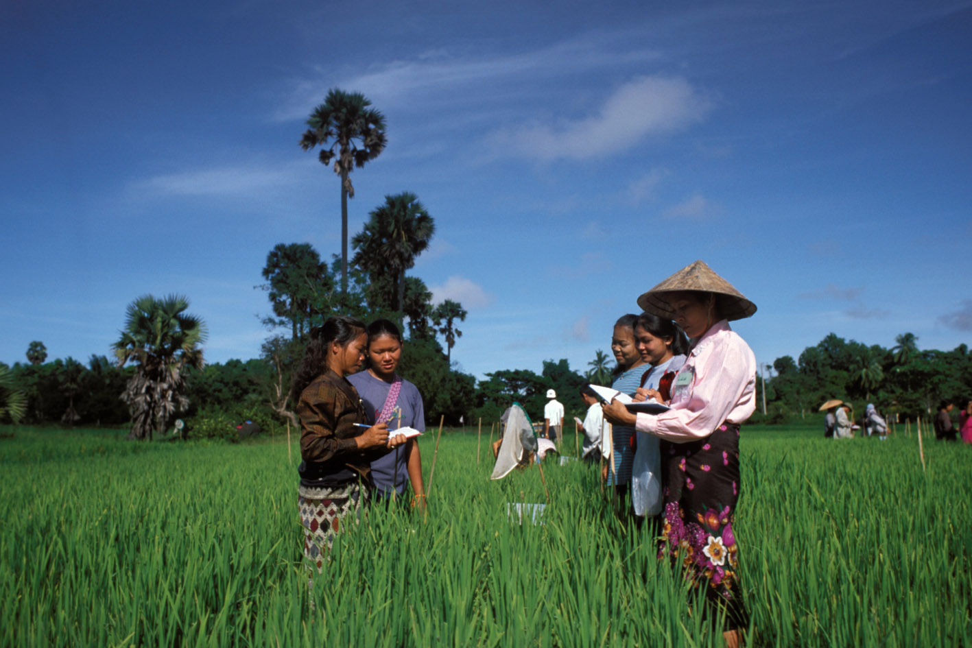
In this context, an Annual Agricultural Survey (AAS) is organized in all regions of the country, to obtain structural and economic data. The survey, implemented by the Statistics, Documentation and Agricultural Information Division, consists of measuring the crop plots for a given crop year. The measuring instruments are compass, milestones, metric tape, programmable calculator and GPS. The plot area is expressed in hectares. Other information on sowing dates, types of distribution, types of crops are also collected.
Sample survey data [ssd]
Agricultural holdings
Scope
- Identification
- Topography list/summary
- Planted crops and their characteristics
- Cultural/farming practices on the plot
Coverage
National coverage.
All agricultural households
Producers and sponsors
| Name | Affiliation |
|---|---|
| Directorate of Analysis, Forecasting and Statistics | Ministry of Agriculture and Food Security |
| Name | Role |
|---|---|
| Government of Senegal | Staff and local funding |
Sampling
The agricultural survey was based on a sample of 3000 agricultural holdings drawn from the sampling frame of the agricultural census of 1997. A probabilistic two-stage sampling method was applied for the survey, with Census Districts (CD) as primary units, and agricultural holdings as secondary units.
The statistical universe is made up of the district at the level of which the survey units (farms) are drawn up and the extrapolation calculations of the data collected.
There are replacement procedures in case a drawn household has moved or has no holding.
Response rate is 98%.
In each region, the total estimate is obtained thus:
Total area = (M / n) * y
Where;
M is the total number of agricultural households
n is the sample of the households
y is the total area of the sampled households per crop
Data collection
| Start | End |
|---|---|
| 2007-07-01 | 2007-09-30 |
Data processing
Clearance of questionnaire/data collected
The computer processing of the Q5 questionnaire on areas under crops required a verification, control and clearance phase. It consisted in checking for all departments or strata the completeness of census districts and sample households, correcting errors and inconsistencies made at the level of data collection in the field or at the level of questionnaire entry. The clearance program designed using the SPSS software consisted mainly of cleaning the file from the data entry and checking certain variables of the Q5 questionnaire such as plot area, number of crops, crop code, and sowing period. Some of the checks carried out include:
Plot area:
- To check that area is not zero. In fact, it can happen that on some sheets the area has not been calculated. In this case, the data entry agent will recalculate the area.
- Also, all crops where the area exceeds 10 hectares were checked. In very rare cases, the data entry agent may record an area larger than the one on the questionnaire. The correction is made after drawing and checking the listings.
- Also, all the plots where the area is less than 100 acres were selected and checked, in order to correct all the plots where the interviewer did not put 4 digits after the decimal point.
Number of crops present on the plot:
- Checks were also done to see whether the number of crops is in line with the number of crop codes recorded. This then makes it possible to assign the actual area of each plot to the crops grown in association.
Data appraisal
Field checks are carried out by the Departmental Agricultural Service, Regional Directorate, as well as, the central level.
Data Access
| Is signing of a confidentiality declaration required? | Confidentiality declaration text |
|---|---|
| yes | Individual data is confidential and governed by the provisions of articles 6 and 7 of Senegalese law No 2004.21 relating to the organization of statistical activities. This law requires all persons handling individual data, collected by the services and bodies under the national statistical system, to guarantee the anonymity of the natural or legal persons concerned by the survey and to use this data only for the purpose of dissemination or for publishing aggregated statistical results. |
The basic data remain the exclusive property of DAPS. However, certain requests concerning data extraction can be satisfied. The aggregated data are made available to the public.
Source: "Annual agricultural survey in Senegal 2007-2008, Directorate of Analysis, Forecasting and Statistics (DAPS)".
Disclaimer and copyrights
Any use or exploitation of the data leading to results other than those published by the Directorate of Analysis, Forecasting and Statistics (DAPS) is the responsibility of its author.
Contacts
| Name | Affiliation | |
|---|---|---|
| Diagne Ousmane | Directorate of Analysis, Forecasting and Statistics | [email protected] |
| Baldé SOME | Directorate of Analysis, Forecasting and Statistics | [email protected] |
Metadata production
DDI_SEN_2007-2008_AAS_v01_EN_M_v01_A_OCS_FAO
| Name | Affiliation | Role |
|---|---|---|
| Office of Chief Statistician | Food and Agriculture Organization | Metadata adapted for FAM |
| Agricultural Statistics, Documentation and Information Division | Directorate of Analysis, Forecasting and Statistics | Project manager |
Metadata version
SEN_2007-2008_AAS_v01_EN_M_v01_A_OCS_v01
