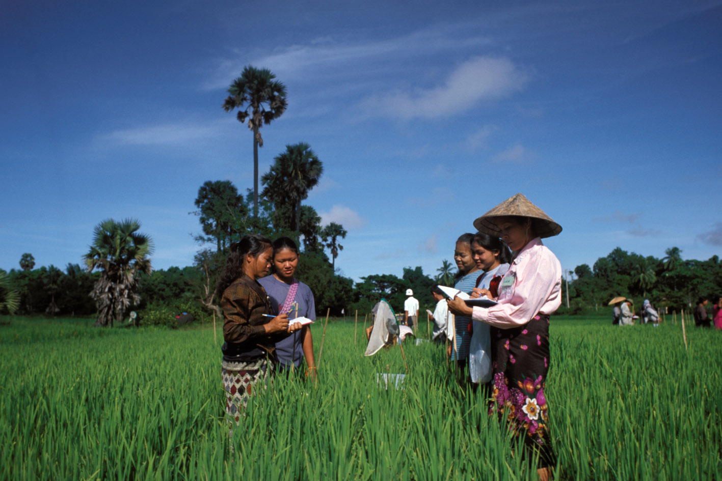
Agribusiness Development 2008-2012
Georgia, 2008 - 2012
Get Microdata
Reference ID
GEO_2008-2012_ABD_v01_EN_M_v01_A_OCS
Producer(s)
NORC at the University of Chicago
Collections
Metadata
Created on
Oct 22, 2020
Last modified
Oct 26, 2020
Page views
765757
Downloads
568
what is the easiest available transportation method to reach the Farmer’s mark (R2_2_6)
Data file: ADA_FLUP2_VA_VCI
Overview
Valid:
0
Invalid:
211
Type:
Discrete
Decimal:
0
Start:
3122
End:
3131
Width:
10
Range:
1 - 10
Format:
Numeric
Questions and instructions
Categories
| Value | Category |
|---|---|
| 1 | Minibus |
| 2 | Bus |
| 3 | Car |
| 4 | Truck |
| 5 | Taxi |
| 6 | Bicycle |
| 7 | Tractor |
| 8 | Horse |
| 9 | Walking |
| 10 | Other (specify) |
| 1000000001 | .C |
Warning: these figures indicate the number of cases found in the data file. They cannot be interpreted as summary statistics of the population of interest.
